01Meet
Read both banks together
The Bund and Pudong are not a simple past-versus-future picture. Together they reveal how trade, industry, finance, and repeated rebuilding reorganized the city.
Cross the river in context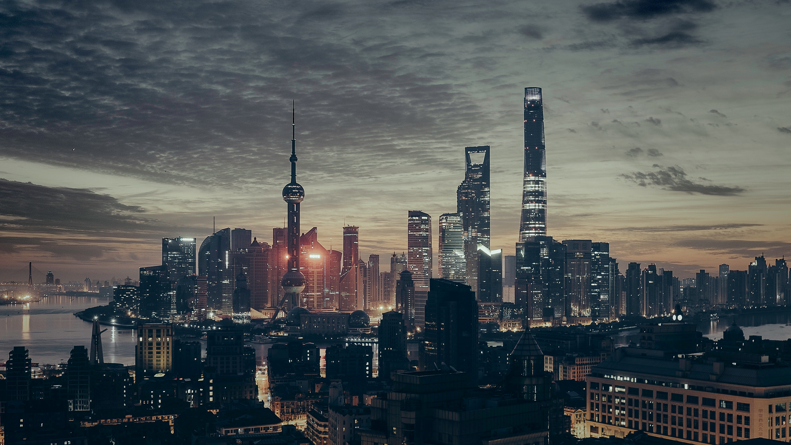
City desk 02 · Shanghai
Shanghai is often reduced to two postcards: historic buildings on the Bund and towers in Pudong. Start there, but do not stop there. The river explains how the city faced trade, industry, and the wider world; its streets show how repeated change became ordinary life.
Before the postcardShanghai County was established in 1292, long before the treaty-port era.
A difficult inheritanceThe 1843 opening and foreign concessions reshaped the city through unequal colonial power.
Still changingPudong’s development from 1990 redrew the skyline and the city’s center of gravity.
Meet · one river, many rearrangements
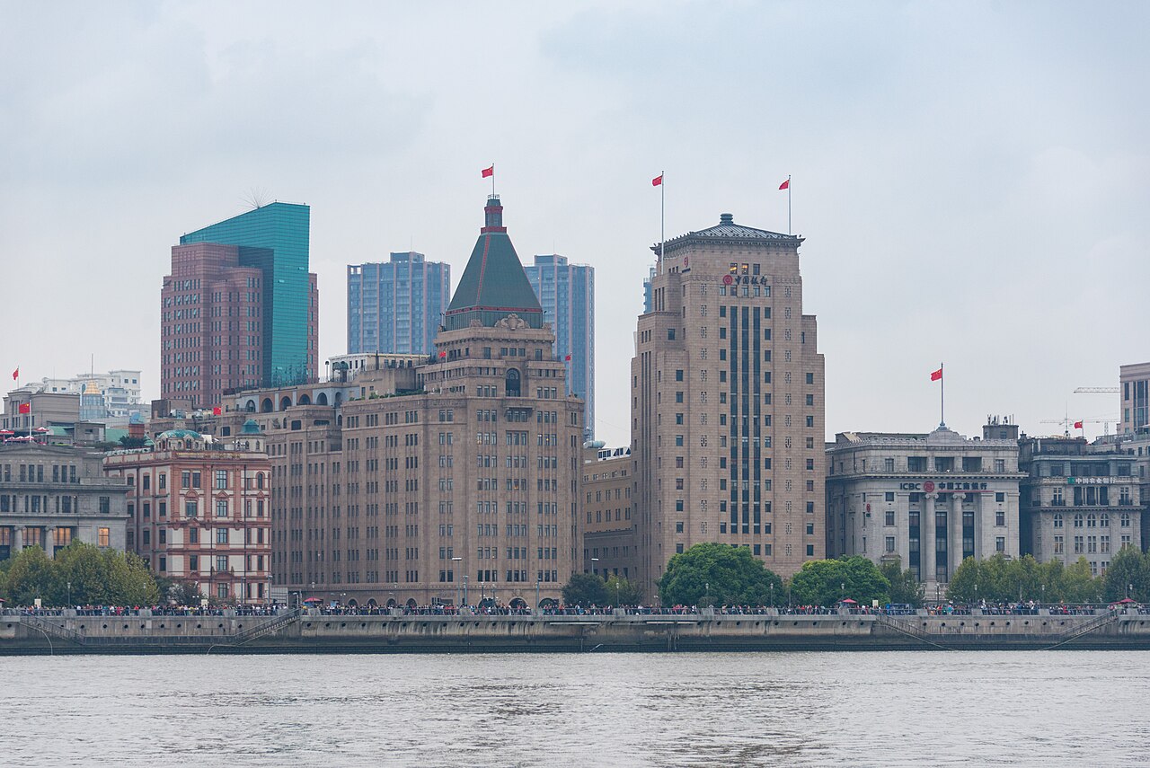
Shanghai sits near the Yangtze estuary and became closely tied to port traffic, commerce, migration, and industry. The city did not begin in 1843, but the treaty-port era profoundly altered its administration, buildings, population, and urban form. That history should be understood—not romanticized as a weightless meeting of East and West.
After 1949, Shanghai remained a major industrial and commercial center. The development and opening of Pudong from 1990 shifted attention eastward again. When both banks enter one frame, you are seeing layers of power, labor, investment, and urban ambition—not merely old stone facing new glass.
Live · the city at front-door scale
Shanghai’s garden residences, apartment buildings, shikumen, and ordinary lane housing tell different stories. Do not call every handsome old house a shikumen, and do not treat every lane as a public photo studio.
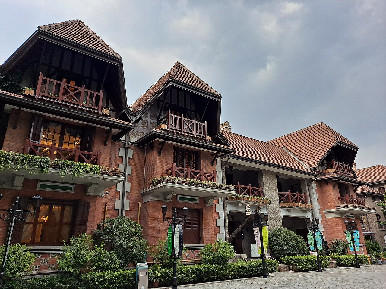
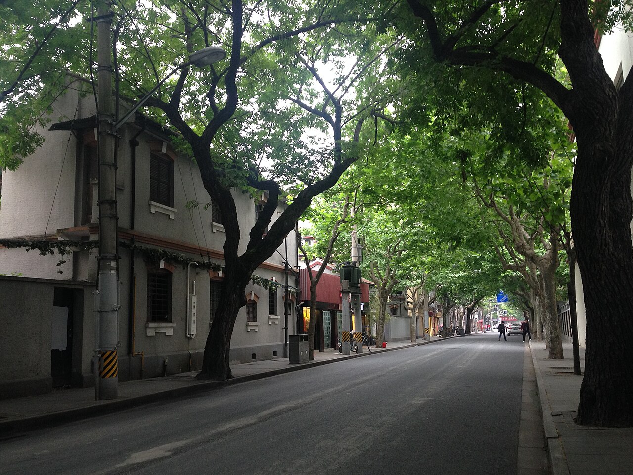
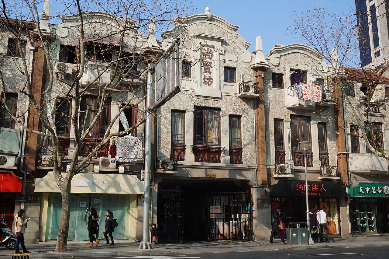
Some historic housing is protected, adapted for culture or commerce, or open to visitors; some remains residential. Keep to public space, avoid photographing into windows and doorways, and do not rearrange a resident’s threshold for a picture.
Four lenses
Meet explains the city’s structure. Live brings you close without erasing residents. Plan limits unnecessary crossings. Walk turns the river and streets into the experience itself.
The Bund and Pudong are not a simple past-versus-future picture. Together they reveal how trade, industry, finance, and repeated rebuilding reorganized the city.
Cross the river in contextGarden residences, shikumen lanes, shops, trees, and front doors are different kinds of urban space. Look closely, and respect the homes that are still homes.
Slow down to street scaleShanghai looks compact on a map, yet crossing districts and joining queues can dissolve a day. Pick the day’s main question before collecting place names.
Shape three daysA ferry, bridge, or waterside walk can be the moment when the city becomes legible. The crossing matters as much as the arrival.
Choose an observation angleThree angles, not a hot-list marathon
Keep this shape flexible. Check current opening hours, reservation rules, ferry routes, and weather before deciding the order.
Prepare the trip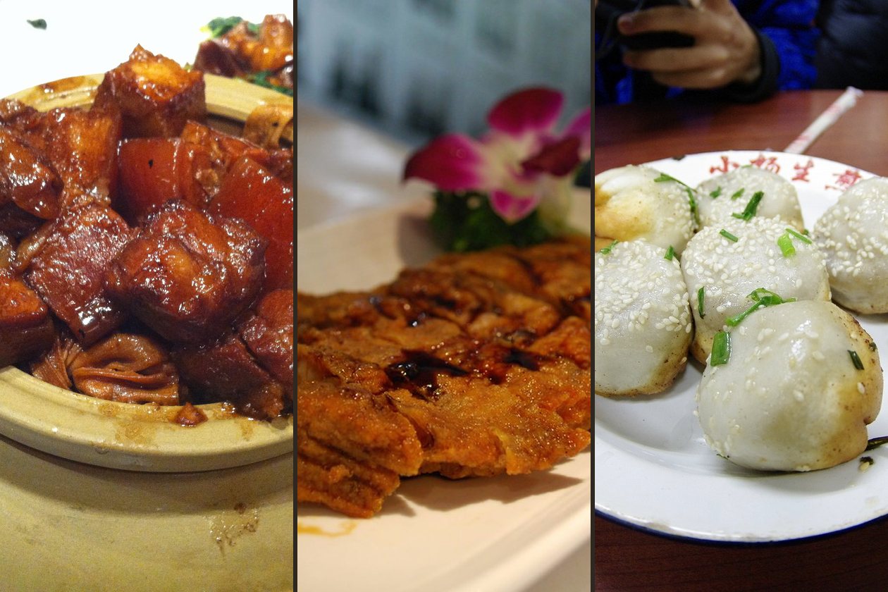
Start with a clearly local flavor: glossy red-braised pork, Shanghai smoked fish, or crisp-bottomed shengjian buns. Then walk toward the west-bank riverfront and historic commercial buildings, letting the city widen gradually instead of collecting every viewpoint.
Choose one coherent area and follow a main road into its side streets. Compare garden residences, lane housing, shops, shade, and the boundaries of residential life.
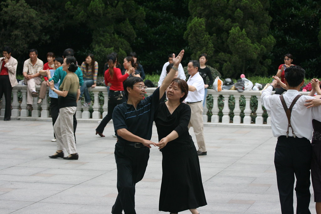
Choose a park, riverside path, or renewed industrial district and stay long enough to notice how people use it: dancing, walking, exercising, meeting, and watching the water. New Shanghai is not only a tower count.
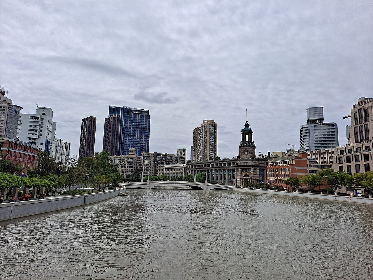
Another waterline
Suzhou Creek brings warehouses, bridges, civic buildings, housing, and recent waterfront renewal into the same view. It is one way to see Shanghai keep rewriting old infrastructure without pretending every layer has disappeared.
Before the first crossing